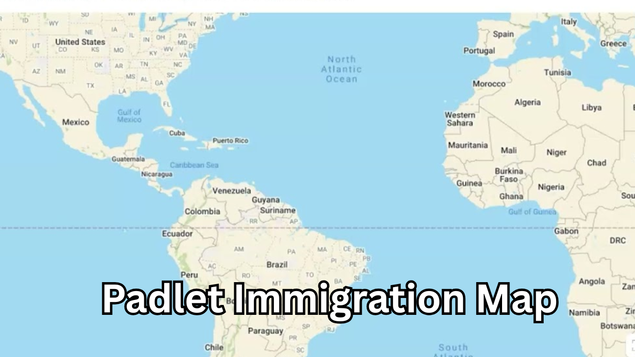
Padlet Immigration Map: A Powerful Tool for Visualizing Global Migration Stories
What Is a Padlet Immigration Map?
A Padlet immigration map is an interactive digital map created using Padlet that allows users to visually represent migration journeys, immigration histories, and global movement patterns. Instead of using traditional text-based timelines or static charts, this map-based approach turns immigration data into engaging visual stories. Students, educators, researchers, and even families use Padlet immigration maps to share personal migration experiences, historical movements, or classroom projects in a clear and meaningful way.
Padlet is widely known for its simplicity and flexibility, making it an ideal platform for mapping immigration routes. Users can place pins on different countries or cities, attach notes, images, videos, or links, and collaborate in real time. This makes the Padlet immigration map both educational and interactive.

Why Padlet Immigration Maps Are Gaining Popularity
The increasing popularity of the Padlet immigration map comes from its ability to combine storytelling with geography. Immigration is often complex and emotional, and visual tools help make these stories easier to understand. Instead of reading long paragraphs, viewers can instantly see where people came from, where they settled, and how migration happened over time.
Another reason for its popularity is accessibility. Padlet works on almost any device and does not require advanced technical skills. This makes it perfect for classrooms, online learning environments, and group projects. The collaborative nature of Padlet also allows multiple users to contribute their own migration stories, creating a richer and more diverse map.
How a Padlet Immigration Map Works
A Padlet immigration map works by allowing users to add posts directly onto a world map interface. Each post can represent a migration event, such as moving from one country to another. Users can add descriptions explaining why the move happened, when it occurred, and what challenges or opportunities were involved.
Images such as family photos, passports, or historical documents can be included to add authenticity. Videos or voice recordings can also be attached to give a personal touch. Because everything is stored in one interactive space, the map becomes a living document that can grow as more stories are added.
Educational Benefits of Using a Padlet Immigration Map
One of the biggest advantages of using a Padlet immigration map in education is engagement. Students learn better when they can interact with content instead of just memorizing facts. By creating their own maps, students actively research their family history or historical migration events, which improves critical thinking skills.
Padlet immigration maps also support visual learning. Seeing migration paths on a map helps students understand global patterns, distances, and cultural connections. It encourages empathy by allowing learners to see immigration from a human perspective rather than as abstract data.
Teachers can also use these maps for assessments, group discussions, and presentations. Since Padlet supports collaboration, students can work together on shared immigration projects even in remote learning environments.
Using Padlet Immigration Maps for Family History Projects
A Padlet immigration map is an excellent tool for exploring family history. Many people know that their ancestors migrated, but struggle to visualize the journey. With Padlet, families can map out generations of movement, showing how migration shaped their identity.
Each family member can contribute information, photos, and stories, making the project more meaningful. Over time, the map becomes a digital archive that preserves family history for future generations. This is especially useful for families spread across different countries who want to collaborate online.
Padlet Immigration Maps in History and Social Studies
In history and social studies classes, the Padlet immigration map helps students understand major migration events such as global diasporas, labor migrations, or refugee movements. Instead of learning dates alone, students see how historical events influenced real human movement.
Teachers can assign different groups to research different immigration waves and add their findings to a shared map. This approach promotes teamwork and helps students connect historical causes with geographical outcomes. The visual format also makes presentations more engaging and easier to follow.

Digital Storytelling Through Padlet Immigration Maps
Digital storytelling is one of the strongest features of a Padlet immigration map. Each pin on the map tells a story, combining text, images, and media into a single narrative. This transforms immigration data into personal experiences that resonate emotionally with viewers.
Storytelling through maps helps break stereotypes and highlights the diversity of immigration experiences. It allows people to share challenges, successes, and cultural transitions authentically. This makes Padlet immigration maps valuable not only for education but also for awareness and advocacy.
Collaboration and Community Engagement
Padlet immigration maps encourage collaboration at both small and large scales. Classrooms, schools, or community groups can work together on shared maps that reflect collective immigration histories. This helps build stronger connections while encouraging respect and understanding among participants.
Community organizations can use these maps to document local migration stories, helping preserve cultural heritage. Because Padlet allows comments and reactions, users can interact with each other’s stories, creating meaningful discussions around immigration topics.
Why Padlet Is Ideal for Immigration Mapping
Padlet stands out because of its user-friendly design. Users do not need technical knowledge to create or edit a map. The drag-and-drop interface makes it easy to add new locations and content.
Another key advantage is flexibility. A Padlet immigration map can be private or public, depending on the purpose. Educators can control access, while researchers or content creators can share maps widely. This flexibility makes Padlet suitable for both personal and professional use.
SEO and Content Creation Benefits
From a content creation perspective, Padlet immigration maps can enhance website engagement. Embedding or linking to interactive maps keeps visitors on a page longer, which is beneficial for SEO. Search engines give higher priority to content that is useful and keeps users actively engaged.
Websites focusing on education, immigration awareness, or digital learning can use Padlet immigration maps as part of their content strategy. These maps support long-form articles, case studies, and educational resources, making them highly shareable and informative.
Real-World Applications of Padlet Immigration Maps
Beyond classrooms, Padlet immigration maps are used by researchers, nonprofits, and cultural institutions. Researchers can visualize migration trends, while nonprofits use maps to highlight refugee journeys and raise awareness.
Cultural institutions and museums also use digital maps to present immigration history interactively. This modern approach attracts younger audiences and makes complex topics more accessible.
Challenges and Best Practices
While Padlet immigration maps are powerful, best practices should be followed. Information should be accurate and respectful, especially when dealing with sensitive migration stories. Privacy settings should be used carefully to protect personal data.
Clear guidelines should be provided when working in groups to ensure consistency and quality. When used responsibly, Padlet immigration maps become a reliable and impactful educational resource.

Future of Padlet Immigration Mapping
The future of Padlet immigration maps looks promising as digital education continues to grow. With increasing emphasis on global citizenship and cultural understanding, interactive mapping tools will play a bigger role in learning environments.
As technology evolves, these maps may include more advanced multimedia features, making immigration storytelling even more immersive. Padlet’s adaptability ensures it will remain a popular choice for educators and content creators alike.
Conclusion
The Padlet immigration map is more than just a digital tool; it is a powerful way to visualize migration, share stories, and promote understanding. Its interactive design, ease of use, and collaborative features make it ideal for education, family history projects, and community engagement.
By transforming immigration data into visual narratives, Padlet immigration maps help people connect with global migration in a meaningful way. Whether used in classrooms, research, or personal storytelling, this tool continues to redefine how immigration stories are told in the digital age.
Also Read: Munjoff1445 APK – Complete Guide, Features, Benefits, and Safe Usage


1 comment